
There’s a version of this story that plays out on job sites more often than anyone likes to admit. The drawings look fine. The survey team signed off. Everyone’s confident the existing structure matches the plans. And then, two weeks into a piping installation or structural tie-in, someone notices a 150mm discrepancy that wasn’t there on paper.
Work stops. Engineers get called. Fingers get pointed. And somewhere in the middle of all that, the project manager quietly starts recalculating the budget.
That gap between what the drawings say and what’s actually on the ground, that’s not a planning failure in the traditional sense. It’s a data failure. And it’s one of the most preventable problems in modern construction, if you know what you’re dealing with before you ever break ground.
Risks of Starting Construction Without Accurate Site Data
Most construction delays don’t begin on site. They begin in the design room, working off information that was incomplete, outdated, or just slightly off. And in complex industrial projects, “slightly off” can become very expensive, very fast.
When teams start projects without verified, accurate as-built data, they’re essentially building on assumptions. The structural column is assumed to be where the old drawing says it is. The pipe rack is assumed to be at the elevation from the 2015 survey. The equipment footprint is assumed to match the vendor specs from the last upgrade cycle.
Assumptions compound. One wrong measurement feeds into the next calculation. By the time the physical work begins, the design has drifted far enough from reality that rework isn’t just likely, it’s inevitable.
There’s also the issue of what you can’t see. Underground utilities, embedded structures, tight clearances between existing and new installations. These aren’t things you can eyeball. They need precise, documented data before the first weld or pour. Without it, you’re flying partially blind, and construction sites are not forgiving environments for that.
Why Traditional Surveying Fails in Complex Projects
Traditional surveying works well enough for straightforward tasks. A boundary survey. A site elevation check on open ground. Even a basic floor plan of a simple structure. But bring that same methodology into a dense processing plant, a live refinery, or a multilevel industrial facility, and it starts showing its limits.
Manual measurements take time, and they’re only as accurate as the person holding the measuring tape and the conditions they’re working in. A cluttered environment, restricted access areas, overhead structures that are difficult to reach physically, these all create gaps in the data. And gaps, once they exist in a survey, tend to stay invisible right up until construction reveals them.
There’s also the matter of documentation. A traditional survey produces numbers on paper or coordinates in a spreadsheet. It doesn’t give you a spatial understanding of the facility. You can’t walk through it, zoom in on a specific nozzle location, or run clash detection on the proposed design against the existing structure. The information exists, but in a form that’s hard to use practically.
For brownfield projects especially, where new work has to integrate with what’s already standing, that limitation is not just inconvenient. It’s genuinely risky.
Role of 3D Laser Scanning Services in India for Accurate As-Built Data
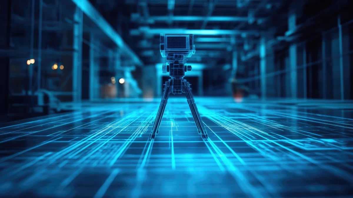
This is where3D laser scanning services in India have started changing the conversation on project sites.
Instead of discrete measurements taken by hand, laser scanning captures the entire physical environment as a dense, accurate point cloud. Every surface, every structure, every pipe, valve, and beam gets recorded with millimeter-level precision. What you end up with isn’t just data, it’s a digital replica of the site as it actually exists.
SES Digital, based out of Vadodara, has been doing this work since 2009 across chemical, oil and gas, and industrial construction projects. Their process involves strategically placing scanners at multiple positions across a plant to capture sub-models, which are then combined into a single comprehensive 3D model. Working with software platforms like Autodesk Plant3D, AVEVA E3D, PDMS, SP3D-PDS, and Cadworks, the team can deliver complete as-built documentation of complex facilities in a single on-site visit. That matters a lot when you’re dealing with live plants that can’t afford extended shutdowns or repeated access.
What comes out of that process isn’t just a pretty model. It’s usable engineering data. Isometrics, GA drawings, tie-in point validations, precise piping lengths, equipment positions, exact dimensions. Everything a design team needs to plan the next phase of work against what’s actually there, not what was originally built.
That’s the difference. Not just better data, but data in a form that feeds directly into the engineering workflow.
How Laser Scanning Prevents Rework, Delays, and Cost Overruns
A few years back, one of the more common complaints from EPC project teams was around prefabricated components arriving on site and not fitting. The spool was fabricated to spec, but the spec was based on a drawing that didn’t account for a small but real deviation in the existing pipe rack. Back it goes. Refabricate. Reschedule the installation window.
That’s not a dramatic failure. It’s the mundane, grinding kind that adds up to weeks of delay and a budget that keeps drifting upward.
Laser scanning eliminates that scenario at the source. When the as-built data is accurate, fabrication is accurate. When fabrication is accurate, installation is accurate. Pre-installation fabrication verification, one of the specific services SES Digital provides, is built around exactly this idea. You verify against the real geometry of the site before anything gets built, not after.
Beyond prefabrication, clash detection is probably the single most valuable use of laser scan data during the design phase. When the new design is laid over a precise point cloud of existing conditions, any spatial conflict shows up immediately on screen. You resolve it with a mouse click and an engineering decision, not with a cutting torch and an emergency redesign on site.
The time savings compress from weeks to hours. The cost savings follow accordingly. And that’s before you factor in the reduced need for repeated site visits by engineering teams, since SES Digital’s scanning process is designed to capture everything needed in one go.
Applications of Laser Scanning in Industrial Construction and Plant Projects
Laser scanning in construction isn’t a single-use tool. It has applications across nearly every phase of a complex industrial project, and that’s part of what makes it worth understanding properly.
For greenfield projects, it starts with accurate topographic and site data before design begins. No assumptions about ground conditions or existing infrastructure. For brownfield projects, it’s the as-built capture that defines what designers are working with. The exact current state of the facility, in three dimensions.
SES Digital works across a range of industrial contexts, including chemical and processing plants, oil and gas facilities, piping and refining infrastructure, and general construction. Some of the specific applications they address include tie-in point validations before new connections are designed, demolition planning where knowing exact existing conditions is critical for safety, installation planning for new equipment that has to fit within existing spatial constraints, and vendor familiarization before PTW orders are issued.
There’s also an often-overlooked training application. Colored 3D models extracted from point cloud data can be used as immersive environments for worker orientation and safety training, particularly on complex or hazardous facilities. You’re not walking someone through a 2D drawing. You’re walking them through a digital replica of the actual plant.
And for facilities going through augmentation or capacity expansion, the scan gives engineers a reliable spatial baseline against which to test and refine new additions. Not guessing whether something will fit. Knowing.
Why Laser Scanning Is Becoming Essential for Modern Construction
The honest answer to why more construction and industrial projects are adopting laser scanning in construction is that the cost of not having accurate data has gotten harder to justify. Rework costs money. Delays cost money. Clashes discovered on site cost more than clashes discovered in software.
The technology itself isn’t new, but the accessibility and turnaround times have changed considerably. Getting a comprehensive scan of a complex facility completed in a single site visit, with output delivered in formats that engineering teams can immediately use, that’s a practical proposition now in ways it wasn’t a decade ago.
SES Digital’s approach to 3D laser scanning services in India is built on exactly that practicality. The combination of domain expertise in industrial engineering, the right hardware, and proficiency across the major plant design software platforms means the data doesn’t just get collected. It gets delivered in a form that actually moves the project forward.
Construction will always carry some degree of uncertainty. Sites are physical, materials behave imperfectly, and no plan survives contact with reality entirely intact. But starting a project with the most accurate possible picture of existing conditions isn’t just a good idea. At this point, it’s the professional standard. The question is less whether to use laser scanning, and more whether you can afford the consequences of not using it.
If you’re planning a brownfield expansion, a new industrial installation, or a plant upgrade and want to start from verified, precise site data, SES Digital is worth talking to. They’ve been doing this work across 88+ countries and have delivered for 200+ clients. That kind of track record tends to mean something on complex projects.
Reach them at sesdigitalsolutions.com or call +91-7486933588.