Today, commercial drone services have dominated various industries, including Chemical, Oil & Gas, and Agriculture, Mining, Infrastructure, etc. The drone services technology offers a bird’s-eye view to provide highly accurate data, substantially saving time and cost of the project.
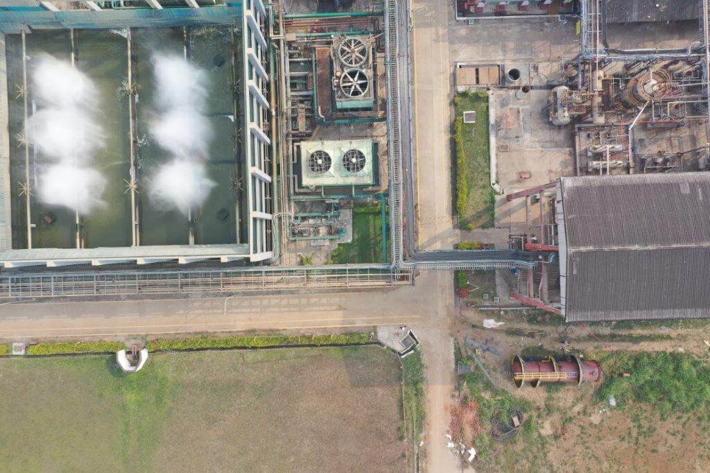
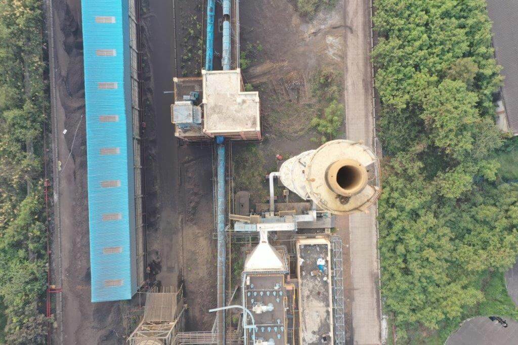
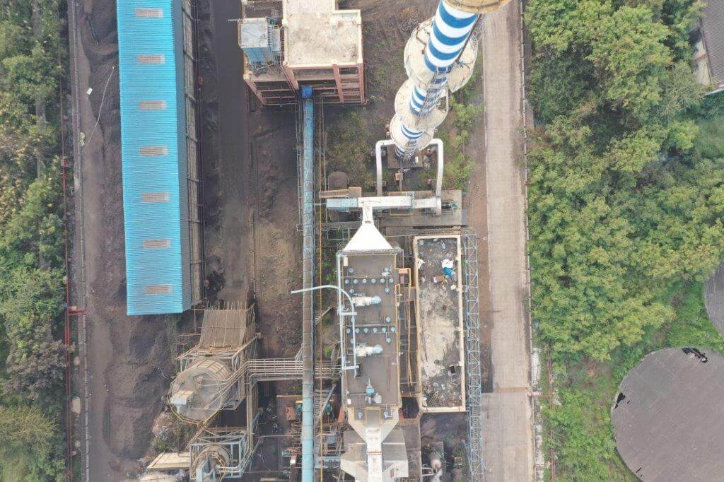
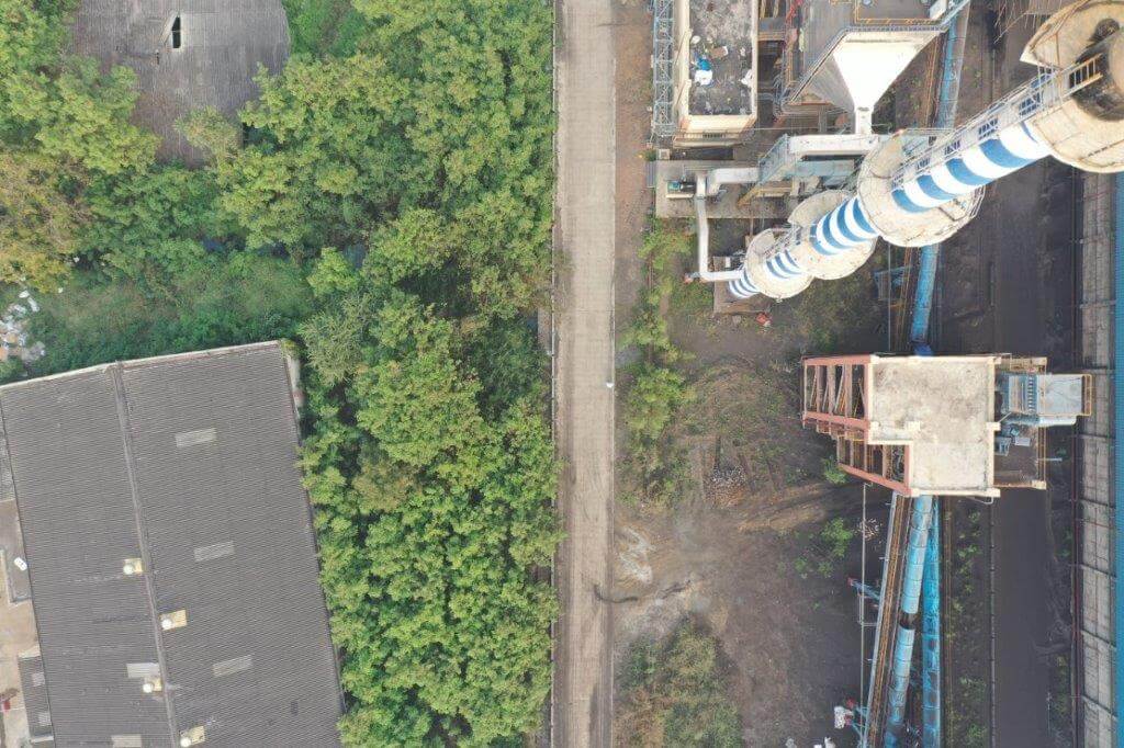
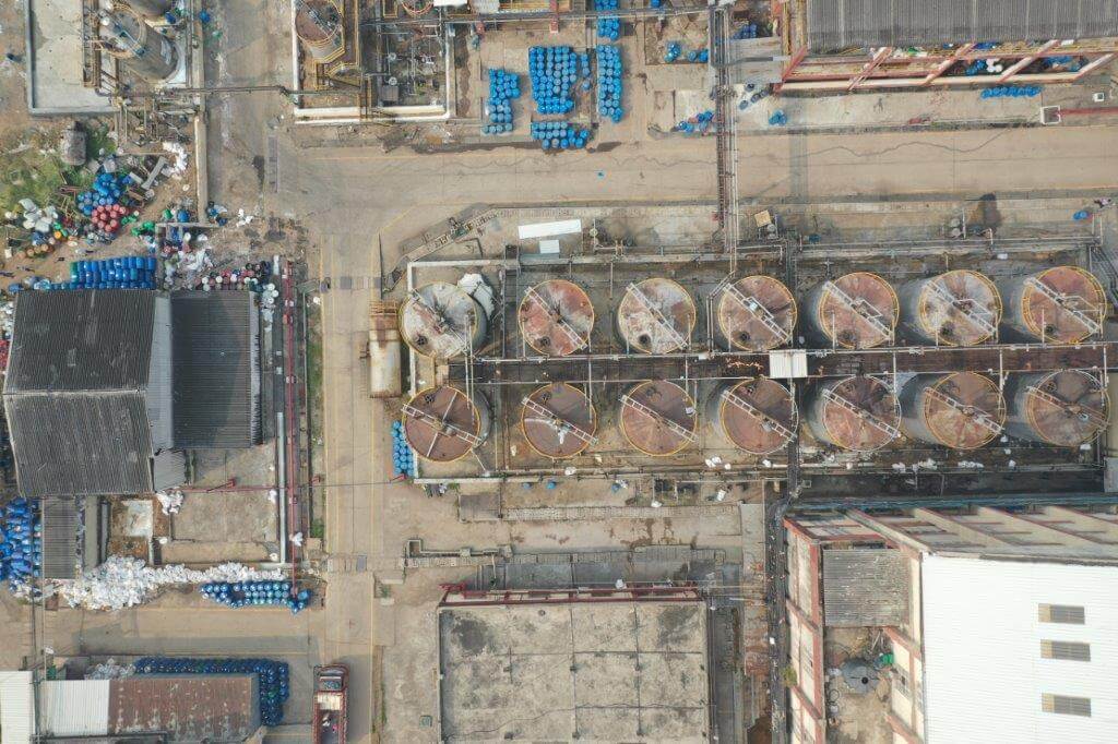
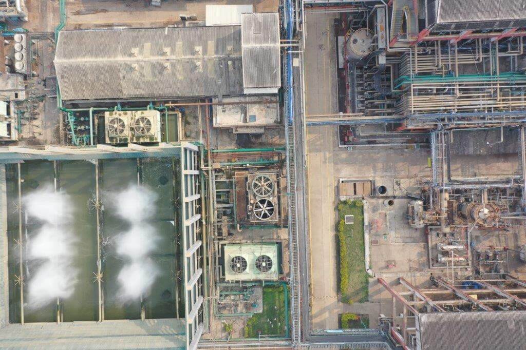
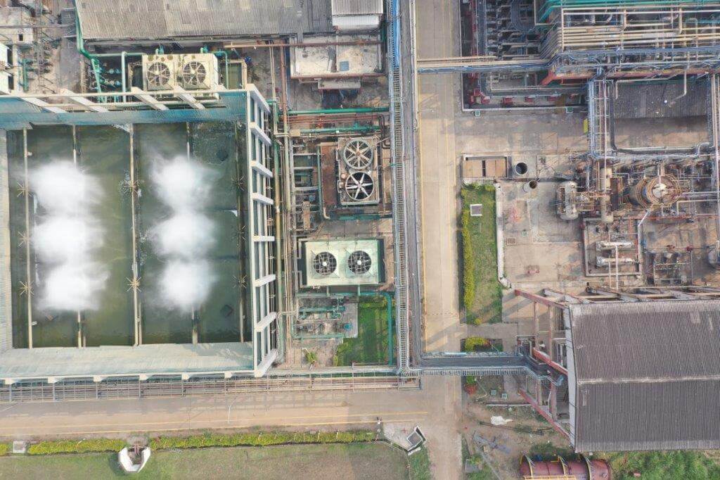
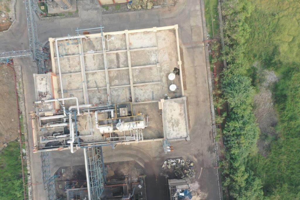
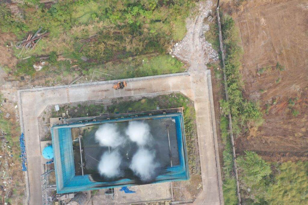
The adoption of unmanned drones services enables the oil and gas facilities to monitor the plant and efficiently assess the condition regularly. Different sensors attached to the drones help in acquiring precise measurements of objects like chimney stacks, indoor conditions of storage tanks, etc. Chemical process plants also require regular monitoring, inspection, and maintenance of confined spaces with hazardous conditions, such as inspection of vessels, tanks, FCC units, and boilers. With the help of thermal cameras and sensors, drones can carry out inspection operations in inaccessible areas, while reducing the risk & exposure for human resources.
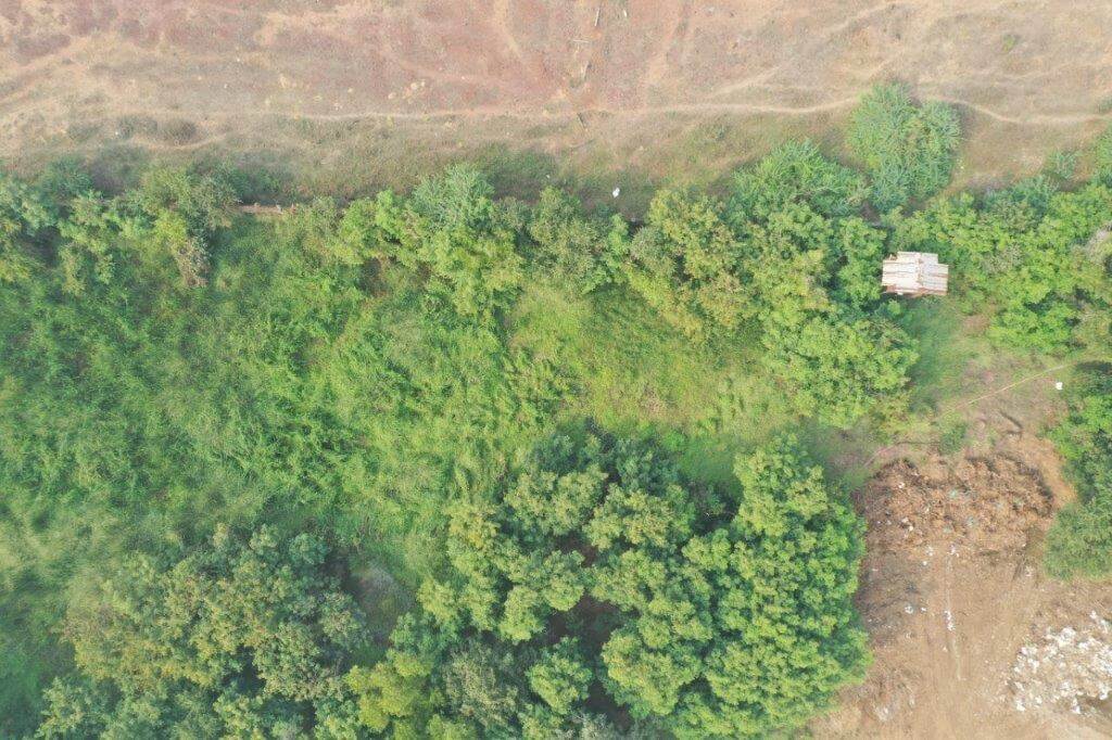
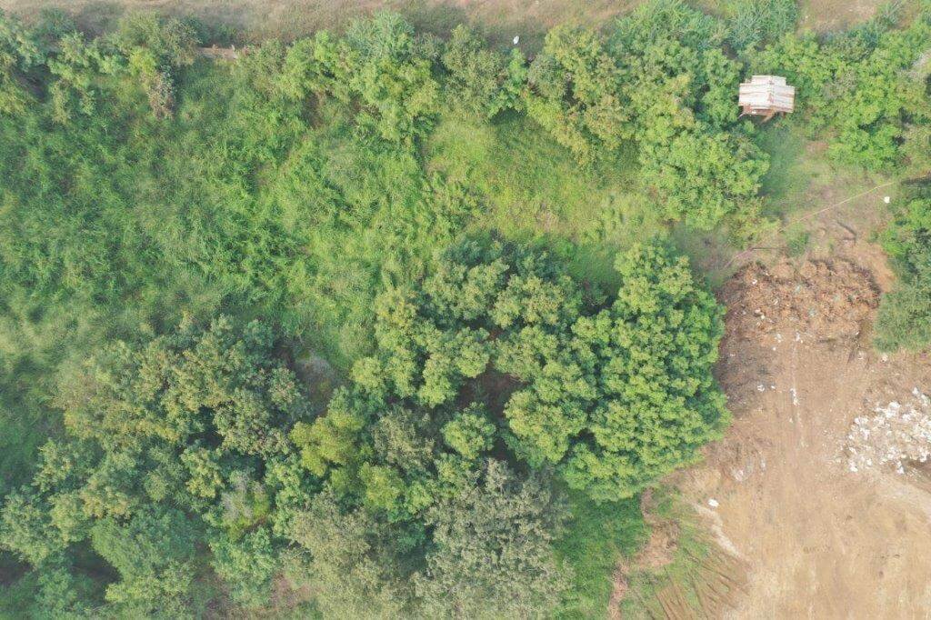
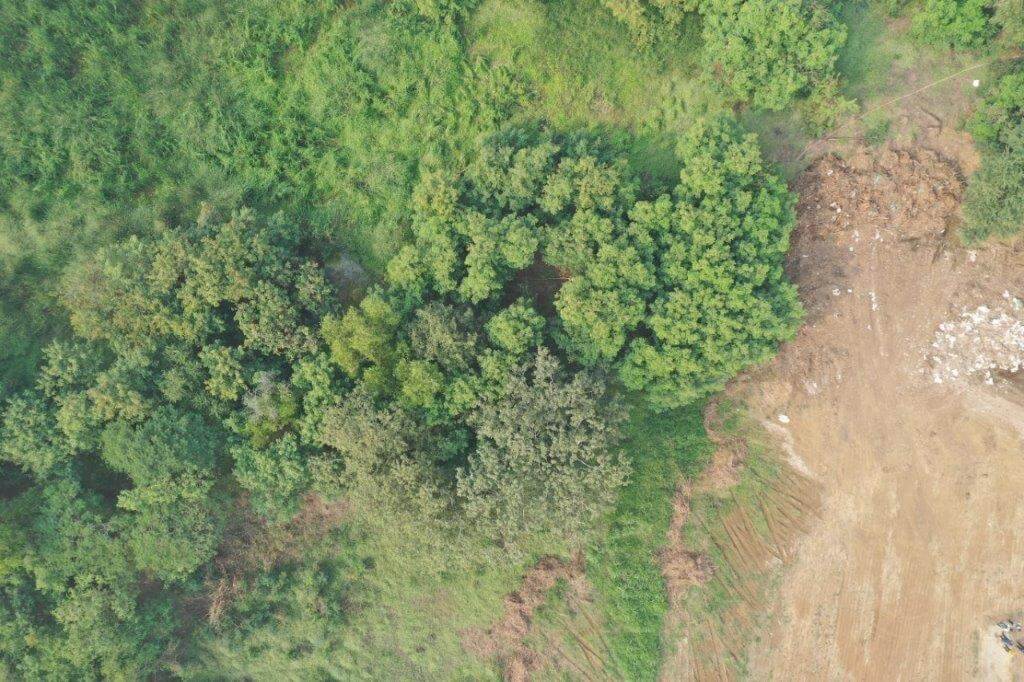
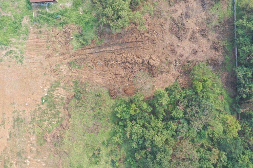
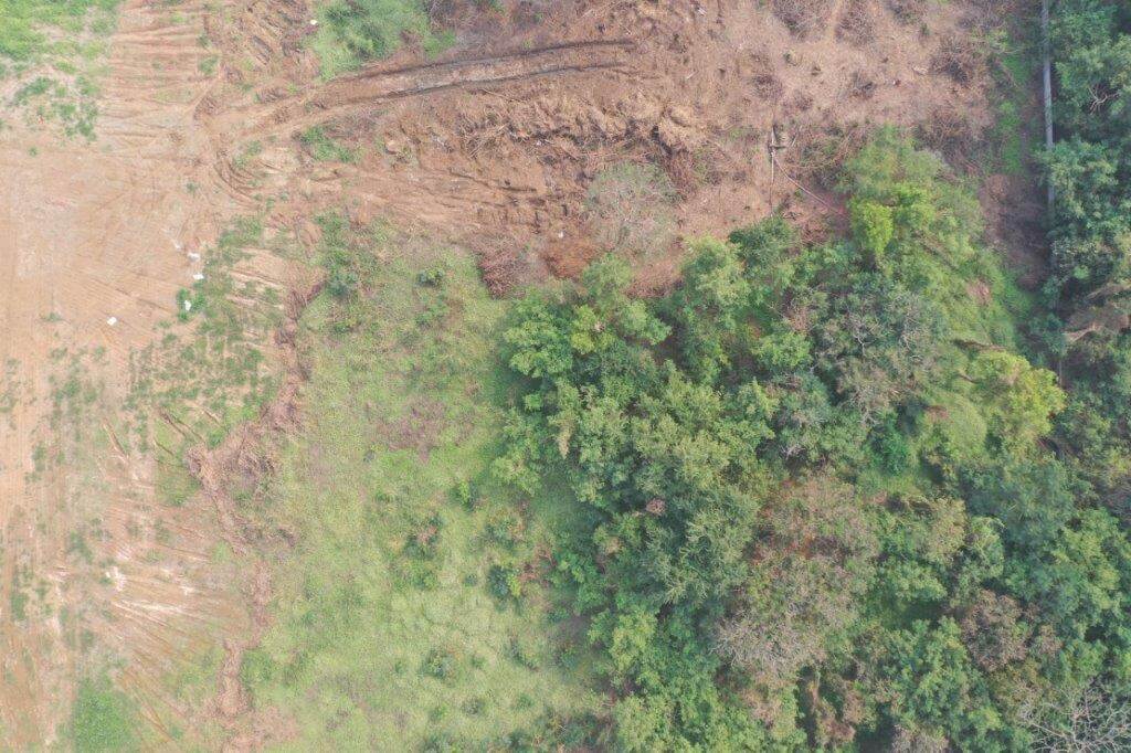
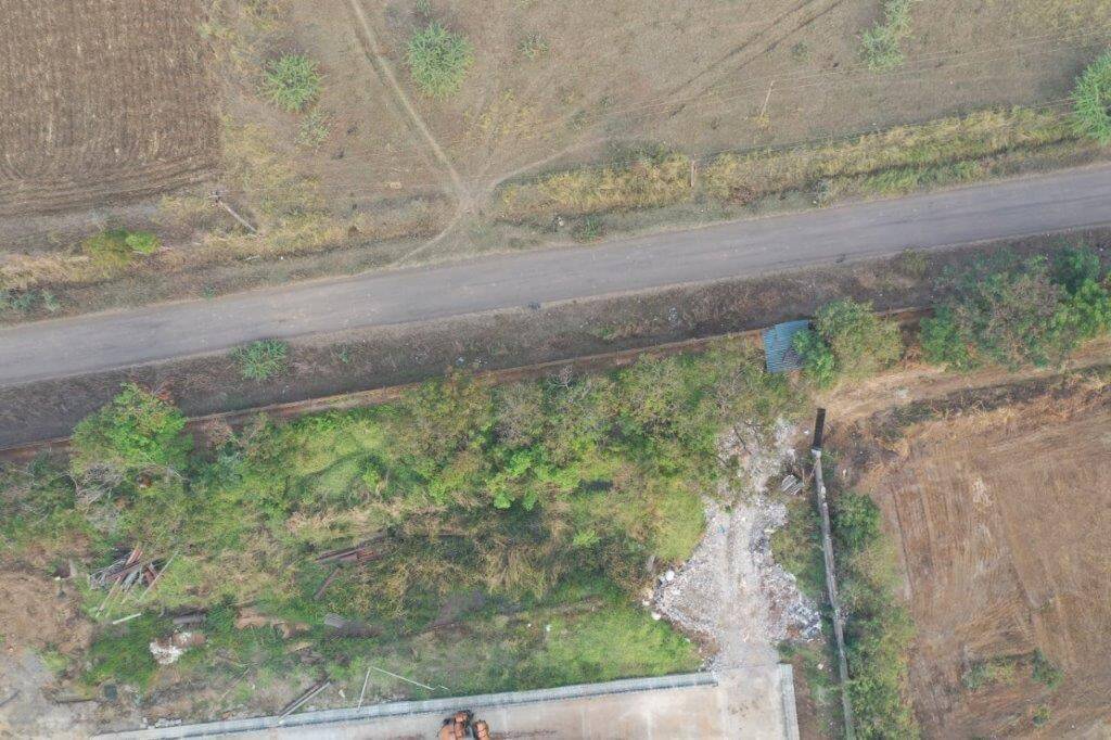
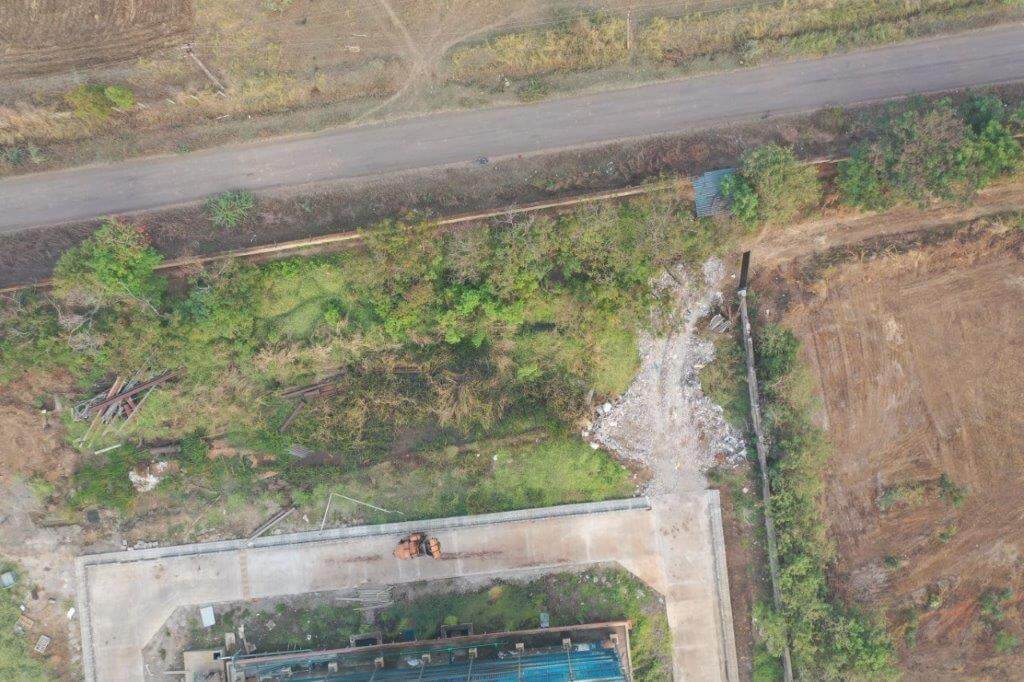
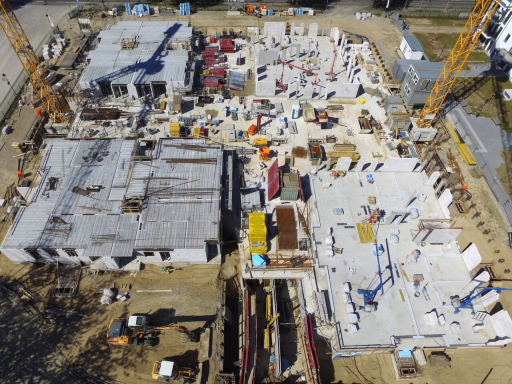
Apart from these, one of the popular uses of drones is Aerial Surveying and mapping of Greenfield projects, mining, agricultural and other sites through GIS. The high-end surveying drones are equipped with downward-facing sensors, such as RGB/multispectral cameras, and LiDAR payloads. They help accumulate large amounts of data that you require, which can be converted to geo-referenced Orthomosaic maps, elevation models of the project area through photogrammetry software.

The deliverable come as Orthomosaic maps, 3D point cloud, Digital Surface Model, Digital Terrain Model, Digital Elevation Model, 3D textured mesh, and contour maps, which all can help in making crucial decisions regarding the set-up of new facilities, modifications to the existing facility, and operation management.
Drone Services used for Agriculture

Benefits of Drone Services
- Reduces field time and survey costs
- Provide access to otherwise inaccessible areas
- Reduces human risk exposure
- Delivers accurate and exhaustive data
- Enhances efficiency of frequent maintenance operations

Industries
- Chemical Processing Industry
- Oil and Gas Industry
- Agrochemical Industry
- Agriculture Industry
- Mining Industry
- Energy Sector
- Manufacturing Industry
- Others