
Introduction
In the ever-evolving mining industry, the pursuit of efficiency and precision is paramount. With the advent of cutting-edge technology, mine planning and design have witnessed a revolution in terms of speed and accuracy. From open-pit mines to underground excavations, SES Digital’s drone inspection services in India have emerged as a game-changer in the mining industry.
SES Digital possesses in-depth knowledge of geospatial data acquisition and analysis, ensuring your mining projects benefit from seasoned professionals who understand the potential of drones in the mining industry. Our seasoned drone pilots and geospatial analysts leverage a fleet of advanced drones equipped with LiDAR, thermal imaging, and high-resolution cameras to deliver detailed 3D models with actionable insights that redefine drone mapping services in India.
Unveiling the Power of Aerial Data Acquisition
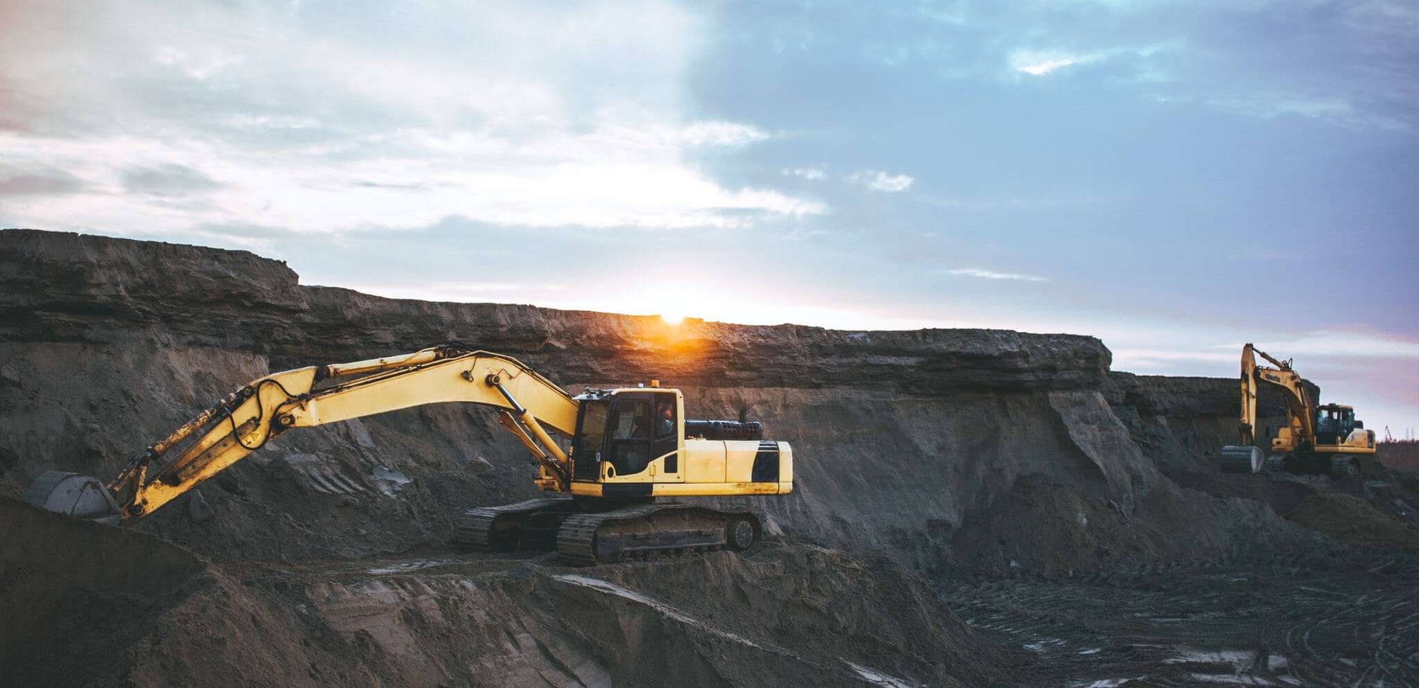
Aerial Insights: A New Perspective on Mining Traditionally, mine planning and design involved manual data collection methods. Our specialized drone surveying company in India brings a revolutionary change to this process. We offer a bird’s-eye view of the mining site, capturing detailed images and data that were previously only possible to obtain with extensive fieldwork.
Our fleet of drones is outfitted with cutting-edge technology, enabling us to capture high-resolution images, thermal data, and 3D models. Providing essential insights for mine planning and design, our expert drone mapping services in India leverage an aerial perspective to reveal crucial details about the topography, geological formations, and infrastructure of a mining site.
- Speed and Efficiency Redefined
Drones significantly reduce the time required for data collection thanks to their swift mobility and ability to cover vast areas in a short period of time. SES Digital’s drone inspection services in India are known for their rapid data acquisition.
Our agile equipment can scan the entire mining site efficiently, producing accurate data within hours, as opposed to the days or weeks traditional methods may require. This speed advantage of drones in the mining industry directly translates to quicker decision-making, allowing mining companies to adapt to changing conditions more promptly.
Precision Mapping for Optimal Mine Design
- Data Accuracy: A Prerequisite for Informed Decisions
Our advanced sensors and GPS technology enable us to capture data with sub-centimetre precision. Our commitment as a leading drone surveying company in India ensures that all collected data is precise and reliable, meeting the stringent requirements of the mining industry.
From topographic surveys to volumetric measurements, the data gathered by drones is invaluable in designing mining operations that optimize resource extraction and minimize waste. The precision achieved through our drone inspection services in India equips mining companies to make well-informed decisions, reducing costly errors and resource mismanagement.
- 3D Models for In-Depth Analysis
Mining professionals rely on detailed 3D models to understand the spatial relationships within a mining site. Our advanced drone mapping services in India enable the creation of these models, offering a comprehensive view of geological structures, infrastructure, and mining progress. Drones in the mining industry with photogrammetry capabilities create intricate 3D models that are indispensable for mine design.
By employing advanced software and processing techniques, we generate accurate representations of the mining site, helping engineers and planners visualize the terrain in unparalleled detail. This in-depth analysis is a game-changer, enabling the fine-tuning of mine plans for optimal productivity and safety.
Conclusion
The mining industry’s shift to drone inspection services in India is not just a passing trend; it has become a necessity. Incorporating drones into mine planning and design processes paves the path to faster decision-making, precise resource utilization, and enhanced safety and environmental responsibility. SES Digital’s commitment to harnessing the full potential of drone technology ensures faster, more accurate, and responsible mine planning and design.