

Introduction
In the face of a digital deluge, industries grapple with a critical question: how to harness the ever-growing volume of digital assets and translate them into actionable insights? Traditional asset management methods, often clunky and siloed, struggle to provide granular detail and holistic insights. Here, a new era of digital asset management unfolds from the ethereal vantage point of a drone. SES Digital takes centre stage in this revolution with top-notch drone inspection services in India to deliver the precision and efficiency necessary to navigate sprawling construction sites, vast agricultural landscapes, and mining ventures.
Our drone mapping services in India feature state-of-the-art high-resolution, multispectral cameras with LiDAR, thermal, and infrared sensors that comprehensively record an asset’s health and performance. From the meticulous planning stages of a new industrial facility to monitoring agricultural fields and the analysis of mining operations, our esteemed drone surveying company in India offers a transformative perspective.
Building on a Solid Foundation: Precision Takes Flight in Construction
Our fleet of drones in the construction industry uses high-resolution cameras and LiDAR technology to provide essential insights. These unmanned aerial vehicles (UAVs) navigate complex construction sites to capture intricate terrain details, structural components, and site conditions.
Our drone-building inspection services in India involve processing the captured data through advanced software to transform it into highly accurate 3D models and maps. These digital assets facilitate precise planning, progress monitoring, and meticulous quality control. Real-time insights empower project stakeholders to make informed decisions and proactively manage risks.
The digital records generated become a comprehensive chronicle of the construction process, laying the foundation for efficient asset management throughout the facility’s lifespan. These digital archives ensure long-term operational excellence, from future maintenance planning to expansions.
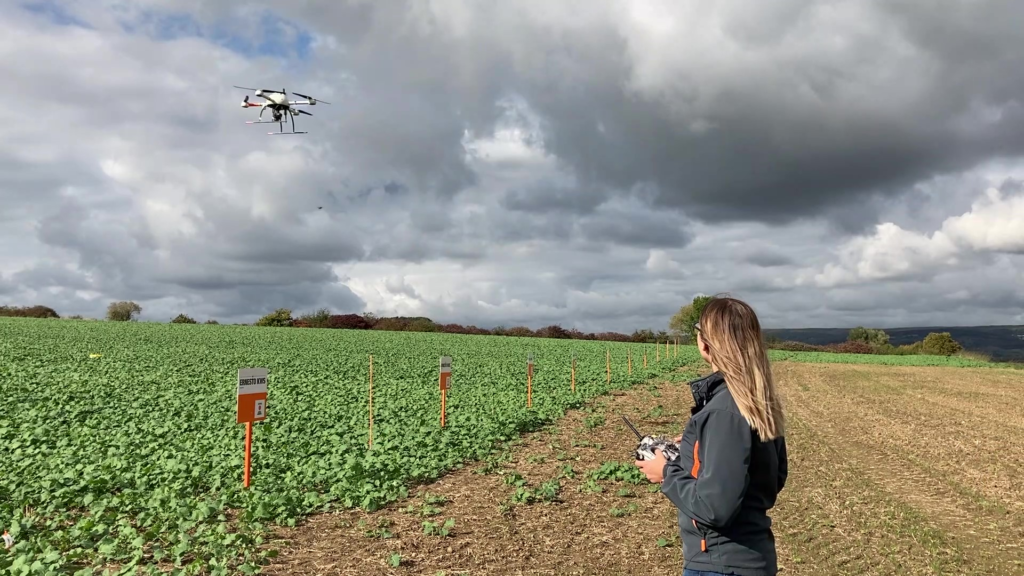
Cultivating Success: Drone Surveys Take Root in Agriculture
Our drone inspection services in India for precision farming help capture detailed data on crop health, soil moisture levels, and irrigation patterns. Our GIS specialists and data analysts analyze this data collected through multispectral and thermal imaging cameras to equip farmers with actionable insights to optimize resource utilization and crop yield. As a renowned drone surveying company in India, SES Digital specializes in generating detailed maps and models of farmland for precise land use planning to maximize productivity and minimize environmental impact.
Furthermore, the insights from drone surveys enable proactive pest and disease management, reducing crop losses and fostering overall farm resilience. Thermal and infrared sensors also enable digital farming to measure crop foliage temperature to identify heat stress, water use, and plant metabolism, leading to more informed irrigation practices and improved crop health.
Unearthing Efficiency: Drone Surveys in the Mining Industry
Our drones in the mining industry feature advanced sensors and 3D mapping capabilities to capture detailed topographical data, enabling precise mine planning and resource extraction. Digital asset management in mining extends beyond spatial data. Our drone mapping services in India involve regularly inspecting mining equipment and infrastructure for condition monitoring.
This information, integrated into asset management systems, facilitates predictive maintenance and minimizes downtime. Additionally, thermal sensors can identify overheating equipment in electrical plants, substations, and towers, preventing potential safety hazards and costly repairs. Moreover, our drone inspection services in India provide invaluable insights for environmental impact assessments and regulatory compliance, ensuring responsible mining practices.
Conclusion
The revolution of drone surveys in digital asset management represents a paradigm shift in how industries approach planning, monitoring, and optimizing their assets. SES Digital’s comprehensive services redefine precision, efficiency, and insights across industrial facility construction, agriculture, mining, and beyond. In turn, this fuels innovation, sustainability, and operational excellence in the digital age.