Introduction
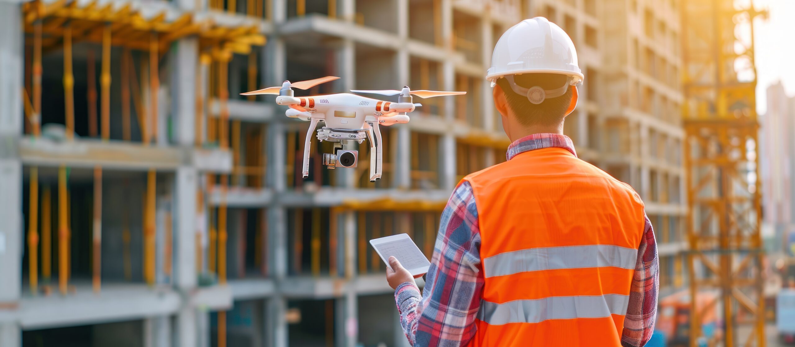
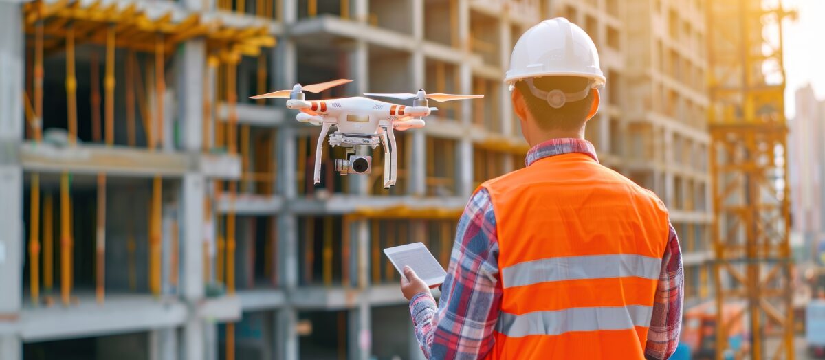
As Gujarat is fast-tracking its infrastructure projects, cities like Vadodara are turning into construction hubs with rapid urbanization and smart city development. This rise in construction projects demands precision, speed, safety, and data-informed decisions. Within this scope, drones in the construction industry in Vadodara, Gujarat, offer a competitive advantage as an integral part of next-generation construction workflows.
SES Digital is leading the way by deploying drone inspection services in India’s building projects to give architects, engineers, surveyors, safety officers, and project managers actionable aerial insights. Our teams consist of DGCA-certified drone pilots, GIS specialists, and CAD modelers who turn aerial intelligence into project clarity. Our advanced integrations like LiDAR scanners and RTK-enabled drones into the workflow change how Gujarat builds by enhancing the entire construction lifecycle.
Drones: The New Workforce on Modern Construction Sites
Aerial orthomosaics generated through our drone mapping services enable us to do high-precision topographic surveys and volumetric analysis of stockpiles without disrupting on-ground activity. For project managers juggling multiple teams and timelines, drones provide visibility. Time-stamped aerial imagery and 3D point clouds generated via photogrammetry software make progress monitoring faster and less resource-intensive. These datasets can be fed directly into Building Information Modeling (BIM) software to ensure alignment between architectural intent and the actual execution.
Site safety has also seen a big leap. As a trusted drone surveying company in India, our routine aerial inspections help you detect hazardous zones, be it weak scaffolding, blocked emergency exits, or exposed utilities. This proactive insight is critical for compliance with safety standards like ISO 45001 and reduces the risk of workplace injuries, especially in large industrial construction projects common in Gujarat.
SES Digital: Drone Solutions for Gujarat’s Construction Boom
Our approach to drones in the construction industry is built on years of field experience and technical know-how, so every flight mission is calibrated for maximum insight and minimum disruption. We have multirotor drones for high-resolution inspections and fixed-wing UAVs for large-area mapping. Our teams process the data into topographical maps, contour lines, and 3D terrain models ready for architectural planning and civil engineering workflows. We customize our mapping, inspection services, and deliverables based on project size, terrain complexity, and stakeholder requirements.
Why Drones Beat Traditional Methods
How do drones compare to traditional surveying, inspection, and mapping? It’s easy to say “faster and cheaper,” but the real advantage is in-depth, consistency, and scope.
For instance, a traditional topographic survey using theodolites would take 7-10 days on average while offering limited detail. SES Digital’s drone mapping services can do it in under a couple of days.
There’s also human error. Manual surveying is prone to inconsistencies. Drones collect standardized data across flights that you can compare over time. This temporal consistency is key for dispute resolution, compliance documentation, and contractor accountability.
Affordability and profitability are other strong economic benefits of drones over conventional methods. While drones in the construction industry may seem like a substantial upfront investment, they reduce rework, on-site delays, and labor dependencies. More importantly, they give you insights that prevent mistakes, like identifying slope instability or verifying as-built conditions before material procurement.
Conclusion
As demands for smart infrastructure, timely delivery, and cost control rise, those who stick to old ways will fall behind. Drones are already changing how Gujarat’s construction companies plan, build, and manage their sites. Our drone inspection and mapping services help you see construction projects in a new way and understand them in ways that were impossible before. Partner with SES Digital, the most trusted drone surveying company in India, and watch your project take off with clarity, confidence, and control.


