

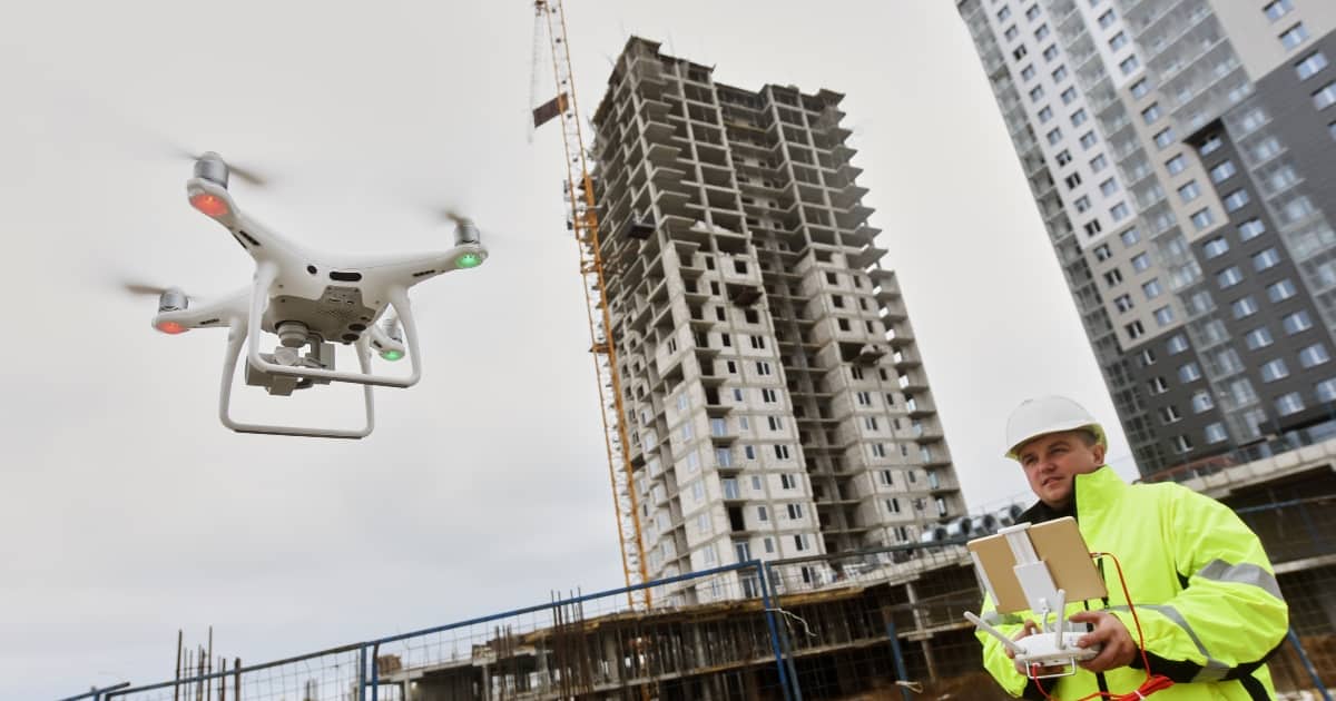
Our drone services support the Construction Industry in achieving speedy and reliable data of a semi-automated construction site to assist project managers with real-time construction monitoring.
Our state-of-the-art drone services have benefited both government sector and private sector developers while mapping and analyzing greenfield and brownfield projects. Aerial mapping has been proved to have the least adverse effect on the environment.
Our high-end drone cameras are not only capable of grasping greater details but are also cost-effective compared to traditional inspection methods. Our surveying drones are equipped with multispectral cameras and LiDAR payloads to produce 3D representations of the site. Our UAV technology makes use of different sensors to acquire accurate topographical data that urges clients to pay heed to energy efficiency, progress tracking, and monitoring, sewage design, encroachments, etc.
Applications
- Project progress monitoring
- Construction site mapping
- Volumetric measurement
- Building surveillance
- Improved sharing and reporting
- 3D Model Visualisations
- 3D SURFACE Models
- 2D Orthomosaic
- Elevation Models
- Map Overlay
- Project Video
- Aerial Documentation