Introduction
Laser scanning for the chemical industry isn’t a new concept and is implemented as a standard practice in the plant engineering & construction industry for a while now. However, it’s currently gaining traction in the construction industry because of its accuracy. Drones, terrestrial scanners, UAVs, digital photogrammetry, and other constantly expanding 3D laser scanning services in India, make it possible to map out every area of a plant or construction site at an unmatchable level of detail.
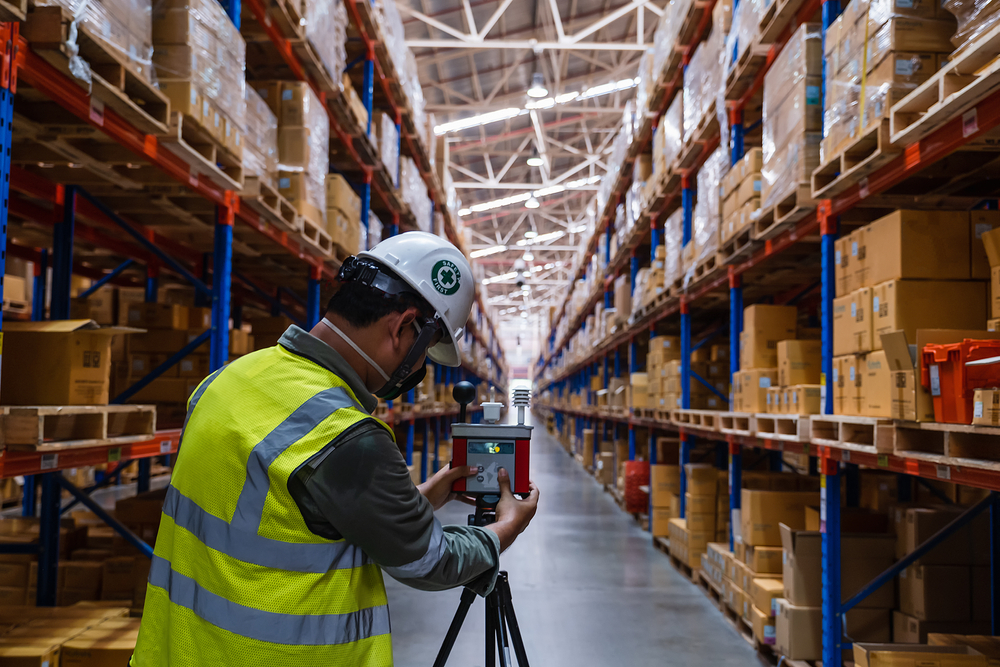
The use of laser scanning in construction to gather huge amounts of data and store correct information for every detail of a construction project is also known as high-definition surveying. With the help of laser light, the scanning device captures the spatial relationships and dimensions of big and small objects. The scanner creates a point cloud data image that copies the details of the scanned items accurately. Depending on the type of scanner, objects can be scanned from a hundred meters away. The data is exported to CAD tools, and BIM modelling, which is then used to create 2D CAD drawings or 3D designs.
Laser Scanning in Construction
Laser Scanning for the chemical industry has evolved significantly since its first application in construction and plant engineering projects. It is now also employed for infrastructure development and other projects.
Revisions can count for up to 15% of the cost of construction in a typical construction project. Frequent laser scanning in construction, on the other hand, can reveal all possible inconsistencies, errors, and bottlenecks before they become big issues, lowering the risks and rework.
3D laser scanning services in India at predetermined intervals allow the plant owners to recheck the infrastructures, equipment, and working conditions and conduct quality assurance. Laser scans can retrieve information from a specific part of the construction project in some cases, allowing corrections to be made.
Applications of 3D laser scanning in plant engineering & construction
- Scanning Resolution
The quality of a laser scan determines the spacing between the points, which determines the precision of detail. As you increase the resolution of the scanning instrument, more data points will be collected by the device for a better point-cloud density. Usually, increased point density or resolution boosts the quality of the point cloud data. Increased point resolution also increases the laser scanning time, as the laser moves at a much slower pace to collect a big number of data points. Additionally, the final point cloud for a higher resolution will have more points substantially, hence increasing the file size overall.
- Scanning Distance
Every 3D scanner has a maximum distance from which it can scan the object. For example, a Faro Focus 3D X-130 will have a maximum range of 130 meters, with a distance precision of +/- 2 mm. Unless the user is scanning a tall building or some kind of bridge, choosing a scanner with an extremely long scan range may not be ideal for a quick project scan. More likely, the scanner will capture too much data or irrelevant information beyond what you need.
Conclusion
SES Digital is one of the biggest independent EPCM companies in India that offers comprehensive laser scanning solutions for the chemical industry. If you have any questions regarding our 3D laser scanning services and multifaceted engineering solutions.