Introduction
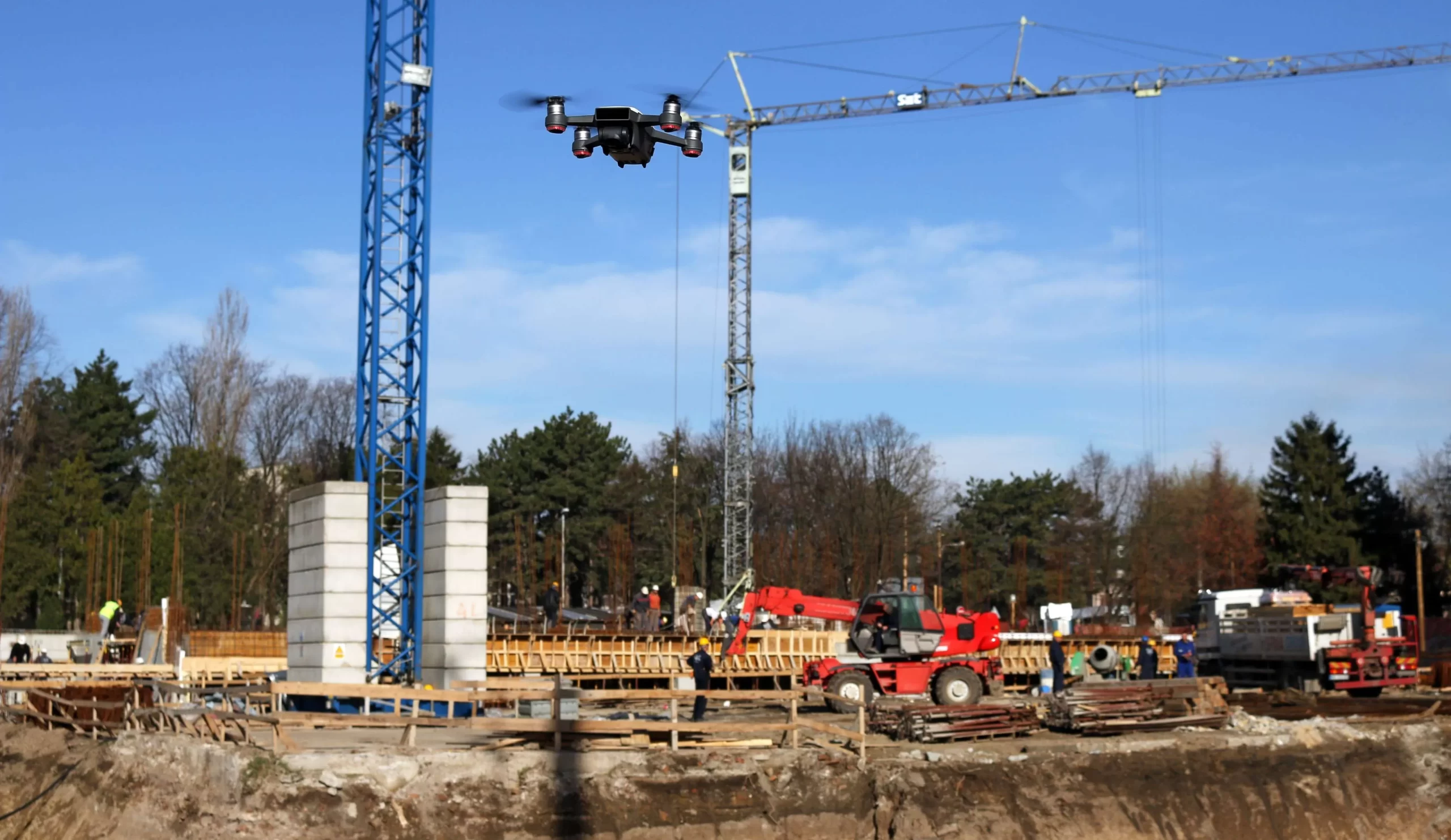
Traditional monitoring methods often fall short in this fast-paced construction industry, leaving construction professionals grappling with blind spots, delays, and unforeseen obstacles. Recognizing this critical need for innovation, SES Digital introduced drone building inspection services in India to address the inherent complexities of construction management.
Ground-level assessments and manual inspections hinder the industry’s ability to adapt swiftly to evolving circumstances. Incorporating drones in the construction industry emerges as a transformative response to these challenges, leveraging advanced technologies to provide unparalleled precision and real-time insights. As a premier drone surveying company in India, we equip our fleet with cutting-edge LiDAR sensors, advanced thermal imaging cameras, and state-of-the-art computer vision algorithms. This technology empowers your construction project with the most up-to-date tools, ensuring precision mapping and real-time management capabilities.
Precision Aerial Mapping for Site Analysis
- LiDAR-Based Terrain Analysis
SES Digital’s drones in the construction industry utilize Light Detection and Ranging (LiDAR) sensors to scan the construction site meticulously. LiDAR technology enables the creation of highly detailed, three-dimensional terrain maps by measuring the distance to surrounding objects. This data is instrumental in identifying subtle variations in the landscape, allowing architects and engineers to design with unprecedented precision.
- Photogrammetry for Accurate 3D Models
We employ advanced photogrammetry techniques for drone building inspection services in India to capture overlapping images from various angles. Computer vision algorithms actively analyze these images, constructing intricate 3D models with unparalleled accuracy.
- Thermal Imaging for Structural Health
SES Digital equips drones with thermal imaging cameras. This technology enables real-time monitoring of structural health by detecting temperature variations. Anomalies like overheating in electrical components or insulation issues can be identified promptly to ensure proactive maintenance and prevent potential hazards.
- Subsurface Mapping with Ground-Penetrating Radar (GPR)
GPR allows subsurface mapping to reveal hidden structures, utilities, and potential underground challenges. Such comprehensive drone mapping services in India enhance the overall understanding of the construction site, minimizing unforeseen obstacles during the construction process.
- Geospatial Data Integration for Comprehensive Analysis
We integrate various geospatial data sources, including GPS coordinates and GIS data, into our drone inspection services in India. This integration provides a holistic view of the construction site, facilitating comprehensive analysis and decision-making.
Real-Time Construction Management for Operational Excellence
- Live Progress Monitoring
As a top-notch drone surveying company in India, we deliver state-of-the-art drone services, offering live feed of construction sites. This capability empowers project managers to monitor progress remotely with precision and efficiency. Real-time insights into construction activities enable quick decision-making, reducing downtime and accelerating project timelines. This live monitoring capability enhances project transparency, allowing stakeholders to stay informed and engaged.
- Resource Optimization
Successful project outcomes hinge on effective resource allocation. SES Digital’s drones in the construction sector contribute to optimizing resources by overseeing equipment utilization and tracking material deliveries. The real-time data feed enables project managers to identify underutilized resources, prevent bottlenecks, and streamline workflows. The result is enhanced operational efficiency and cost savings throughout the construction process.
- Automated Construction Documentation
Documenting construction progress is a time-consuming task that often leads to delays. SES Digital’s drones automate this process by systematically capturing images and videos throughout the project lifecycle. This automated documentation is a comprehensive visual record, facilitating regulatory compliance and simplifying post-construction analysis.
Conclusion
With precision aerial mapping and real-time construction oversight, our drones in the construction industry empower you to make informed decisions, enhance project efficiency, and ensure the success of every endeavour. With a commitment to technological innovation, SES Digital’s drone-based monitoring and construction management services redefine how you plan, execute, and monitor your construction projects.