
Introduction
Mining operations cover large and often challenging environments where accurate site information is essential for planning, inspection and day-to-day decision-making. Open pits, stockpiles, haul roads, excavation areas, slopes and other mining infrastructure can be difficult to survey or inspect frequently using conventional methods alone. At the same time, mining companies need reliable information to understand changing site conditions and track progress over time.
This is where mining drone technology can provide practical value. Drones can collect aerial imagery and site data across large areas while reducing the need to send personnel into difficult or potentially hazardous locations. When the collected information is properly processed and integrated into engineering and surveying workflows, it can support more informed decisions across mining operations.
Drone services for mining industry applications can therefore extend beyond aerial photography. Depending on the project requirements, drone data can support surveying, mapping, inspection, progress monitoring, site documentation and engineering planning.
Why Are Mining Companies Using Drone Technology?
Mining sites change continuously. Excavation progresses, stockpile volumes fluctuate, haul roads are modified and infrastructure develops as the operation expands. Maintaining an accurate understanding of these changes is important for both operational planning and engineering activities.
Traditional surveying and inspection methods can require personnel to physically access different areas of a mine. On large or difficult sites, this can make frequent data collection time-consuming and challenging. Drones provide another method of collecting visual and spatial information from above, allowing larger areas to be covered efficiently.
For mining companies, the value is not simply in collecting more images. The real benefit comes from turning those images and survey data into information that teams can use. Repeated aerial surveys can help compare site conditions, while processed mapping data can support planning, measurement and documentation.
Drone-based data can also complement existing surveying and engineering methods rather than completely replacing them. The appropriate approach depends on the required accuracy, site conditions, project objectives and type of information being collected.
What Is Mining Drone Technology?
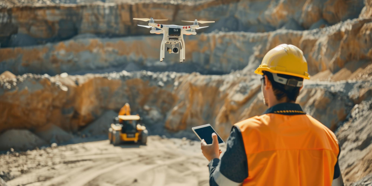
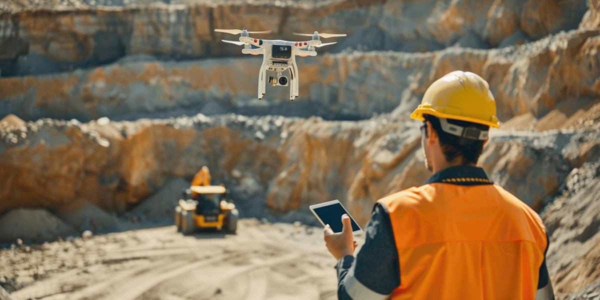
Mining drone technology refers to the use of unmanned aerial systems, cameras and other suitable sensors to collect information across mining environments. Depending on the application, a drone may capture high-resolution photographs, video, aerial imagery or spatial data that can later be processed into useful engineering and surveying outputs.
The technology can be particularly useful where the area of interest is large or difficult to access. Instead of collecting information from only a few physical locations, aerial data can provide a broader view of the site and its surrounding conditions.
The collected data can then be processed using appropriate software to generate outputs such as orthomosaic imagery, terrain information, 3D representations, measurements and site documentation. These outputs can become part of wider engineering, surveying and project-management workflows.
The choice of drone platform, sensor and data-processing method should always be based on the specific mining application. A requirement for stockpile measurement, for example, may have different data requirements from an inspection of elevated infrastructure or a broader site-mapping exercise.
How Are Drones Used for Mining Site Surveys?
Drone surveying for mining can help teams collect updated information across large areas without relying entirely on conventional ground-based data collection. This can be useful for open-pit operations, excavation areas, stockpiles, haul roads and other parts of a mining site.
Aerial survey data can provide an overview of current site conditions and help teams document changes between surveys. For example, repeated surveys can be compared to understand how excavation areas or stockpiles have changed over a particular period.
Survey information can also support planning activities. Updated terrain data can help engineers and site teams understand the physical characteristics of an area before making decisions related to development, access or modification.
However, survey accuracy requirements need to be considered carefully. Depending on the project, ground control, appropriate flight planning, sensor selection and data-processing methods may be required to achieve the desired level of accuracy.
How Does Drone Inspection Support Mining Operations?
Mining environments contain infrastructure and locations that can be difficult to inspect using conventional access methods. Elevated structures, slopes, stockpile areas, equipment surroundings and other hard-to-reach locations may require additional planning before personnel can safely access them.
Drone inspection for mining industry applications can provide aerial visual information that helps teams assess these areas without immediately requiring personnel to physically reach every location. High-resolution imagery and video can help identify visible conditions and provide documentation for further engineering or maintenance assessment.
For example, drones can support visual inspection planning around mining infrastructure, elevated structures and difficult terrain. The captured information can then be reviewed by appropriate technical teams to determine whether further detailed inspection or physical intervention is required.
Drone inspection should not automatically be treated as a replacement for every conventional inspection method. Instead, it can serve as an additional layer of information that improves visibility and helps teams plan inspection activities more effectively.
How Does Drone Mapping Help Mining Companies Understand Site Conditions?
Mining sites can change significantly over relatively short periods. Aerial mapping provides a practical way to create an updated visual and spatial representation of these environments.
Drone mapping for mining can involve capturing overlapping aerial imagery and processing it into outputs such as orthomosaic maps, terrain models and other spatial representations. These outputs can help teams understand site boundaries, excavation areas, stockpile locations, access routes and other physical features.
One of the important advantages of repeated mapping is comparison. When surveys are carried out at different points in time, teams can compare the resulting datasets to identify changes across the site.
This makes drone mapping useful for documentation and monitoring as well as initial surveying. The resulting information can also provide useful reference material for engineers, surveyors and site-management teams working on planning and development activities.
Can Drones Support Mining Progress and Operational Monitoring?
Mining projects and operations often require continuous monitoring because physical site conditions are constantly changing. Periodic drone surveys can create a record of these changes and provide teams with updated information without requiring a complete manual survey every time.
Progress monitoring can be applied to excavation areas, infrastructure development, stockpiles and other visible site activities. Comparing data collected at different stages can help project teams understand how work is progressing against the planned condition.
Stockpile monitoring is another potential application. Aerial data can support the measurement and documentation of stockpile geometry, while repeated surveys can help identify changes over time.
The frequency of monitoring should depend on the operational requirement. Some projects may benefit from periodic surveys, while others may require more frequent data collection during active development or construction phases.
How Can Drone Data Support Mining Engineering Decisions?
The value of drone technology becomes much greater when the collected data is connected to engineering workflows.
For mining engineers, aerial information can provide a current view of physical site conditions before planning modifications, access routes, infrastructure development or other activities. Instead of relying solely on older drawings or limited site observations, engineering teams can use updated visual and spatial information as an additional reference.
Drone data can also support coordination between surveying, engineering and site-management teams. A shared representation of current site conditions can make it easier to communicate changes and identify areas that require further investigation.
For example, an aerial survey may identify a change in terrain or infrastructure that requires a more detailed engineering assessment. In this way, drone technology becomes part of a broader information-gathering process rather than an isolated inspection activity.
The most effective drone services for mining industry therefore focus not only on flight operations but also on data quality, processing, interpretation and how the resulting information can be used within existing project workflows.
What Should Mining Companies Consider When Selecting a Drone Services Provider?
Choosing a drone service provider for a mining project requires more than comparing drone equipment. The provider should understand the environment in which the data will be collected and, importantly, the purpose for which the data will be used.
Mining experience is one important consideration. A provider familiar with large industrial sites is better positioned to understand challenges associated with terrain, access, infrastructure and operational conditions.
The provider’s surveying and data-processing capabilities are equally important. Companies should understand what outputs will be delivered, how the data will be processed and whether those outputs can be integrated into existing engineering or project workflows.
Safety and regulatory requirements should also be considered before any drone operation begins. Flight planning, site coordination and operational procedures need to account for the specific conditions of the mining environment.
Finally, companies should evaluate whether the provider can support the complete workflow from data collection to usable project information. A technically impressive aerial survey has limited value if the resulting data cannot be used effectively by engineers, surveyors or project teams.
How to Choose Drone Services for the Mining Industry?
Before selecting a provider, mining companies should first define what they actually need the drone data to accomplish. Surveying, inspection, mapping and progress monitoring can require different equipment, flight strategies and processing methods.
The required accuracy should then be established. If the data will support engineering or measurement activities, accuracy requirements should be clearly defined before the survey begins.
Companies should also evaluate the provider’s experience with mining and industrial environments, available drone and sensor capabilities, data-processing workflows, safety procedures and reporting methods. It is equally important to confirm whether the final outputs can integrate with the software and engineering workflows already used by the organization.
A strong provider should be able to explain the complete process clearly: what information will be collected, how it will be processed, what deliverables will be provided and how those deliverables can support engineering or operational decisions.
Conclusion
Mining drone technology is becoming increasingly useful for collecting current site information across large, complex and difficult-to-access environments. From drone surveying for mining and aerial mapping to inspection and progress monitoring, drone-based data can provide mining teams with a broader and more frequently updated view of their operations.
The real value, however, lies beyond the flight itself. When aerial information is accurately captured, processed and connected with surveying and engineering workflows, it can support better planning, site documentation and operational decision-making.
SES Digital approaches drone services as part of a broader digital engineering and site-information workflow, helping mining and industrial teams collect useful data that can support safer inspections, accurate site understanding and more informed engineering decisions.
Looking to improve site visibility with drone-based surveying, inspection or mapping? Connect with SES Digital to discuss a drone data solution aligned with your mining project requirements.