

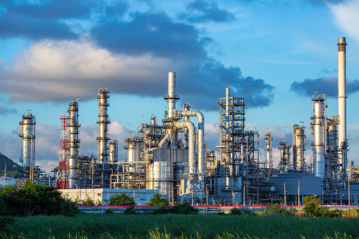
Chemical plants are rarely static environments. Equipment gets replaced, piping systems are modified, production capacity changes, utilities are expanded and new systems are added around facilities that may already have decades of operating history. Over time, the physical plant can become quite different from the engineering drawings originally created for it.
This creates a practical challenge when a chemical company plans an upgrade or modification. Engineers need to know what is actually present before designing what comes next. Existing equipment, pipe routes, structural members, cable trays, platforms and access areas all influence whether a proposed modification can be installed safely and efficiently.
This is where laser scanning for chemical industry applications can provide valuable engineering information. By capturing the existing facility as detailed three-dimensional spatial data, laser scanning gives project teams a more reliable representation of the plant before design and construction decisions are finalized. For brownfield projects, this information can support piping modifications, equipment replacement, layout changes, retrofit planning and engineering coordination.
Why Are Existing Conditions Important in Chemical Plant Upgrades?
A chemical plant upgrade rarely starts with a completely empty site. Engineers usually have to work around operating equipment, existing piping, structures, electrical systems, utilities and safety infrastructure. Even when drawings are available, they may not reflect every modification carried out during years of plant operation.
A pipe may have been rerouted during an earlier expansion. An equipment replacement may have changed connection dimensions. Additional supports may have been installed, or a utility line may now occupy an area that was originally shown as available space. These differences can remain unnoticed during early design and only become obvious once fabrication or construction begins.
For this reason, understanding existing conditions is one of the first practical requirements of a brownfield engineering project. Reliable site information helps engineers evaluate whether a new equipment package will fit, whether a proposed pipe route is practical and whether maintenance and operating clearances can be maintained.
This is one of the key reasons chemical companies consider 3D laser scanning services in India when planning modifications. Instead of depending entirely on legacy documentation and isolated manual measurements, project teams can work with a detailed digital representation of the areas being modified.
The objective is not to replace engineering judgement. It is to give engineers better information before they make decisions that affect fabrication, procurement and construction.
How Does Laser Scanning Capture Existing Chemical Plant Conditions?
Laser scanning uses a terrestrial scanner to capture the physical environment from multiple positions around the facility. Each scan records a large number of spatial measurement points, and these individual scans are subsequently registered into a coordinated point cloud.
In a chemical plant, the resulting point cloud can represent equipment, piping, structures, platforms, vessels, walls, supports and other visible elements within the scanned area. Because the information is spatially coordinated, engineers can examine the relationship between different plant components rather than relying only on individual measurements.
This becomes particularly useful in congested process areas. A traditional measurement may tell an engineer the distance between two points, but a registered scan can provide much broader context about what surrounds those points.
The captured data can then be processed according to the project’s engineering requirements. Depending on the application, it may support measurements, CAD workflows, 3D modelling, BIM coordination, as-built documentation or design verification.
The quality of this information depends on more than the scanning equipment itself. Scan planning, site conditions, scanner positioning, registration, data processing and quality checks all contribute to the usefulness of the final dataset. For chemical plant projects, the scanning approach should therefore be planned around the engineering decisions that the resulting information needs to support.
How Is Laser Scanning Used for Chemical Plant Piping?
Piping is often one of the most complicated elements of a chemical facility to document. Process lines can pass through congested pipe racks, change elevations, connect to multiple pieces of equipment and run close to structural steel, cable trays and other utilities.
When modifications are planned, engineers need to understand these relationships before developing the new design. Laser scanning for piping can provide a detailed spatial reference of existing pipe routes, supports, equipment connections and surrounding structures.
For example, if a new process line needs to connect to an existing vessel, the engineering team needs to understand not only the connection point but also the surrounding space available for the new routing. Existing supports, adjacent lines, access platforms and maintenance requirements may all influence the final design.
Scan data can help engineers review these conditions digitally before fabrication begins. It can also support piping layout development, tie-in planning and design verification when existing systems are being modified.
This is especially useful in older chemical facilities where the available documentation may have been created at different stages of the plant’s development. Combining existing drawings with current scan data gives engineers a stronger basis for understanding the facility as it exists today.
How Can 3D Scan Data Support Plant Modifications?
Once existing conditions have been captured, the information can become part of the broader engineering workflow. A chemical plant may be replacing an existing vessel, installing a new pump, adding a process line or modifying a utility system. In each case, the proposed design has to work within the physical limitations of the existing facility.
A 3D scan allows engineering teams to review the existing environment before committing to detailed design. Equipment locations, access areas, pipe routes and structural constraints can be examined together, making it easier to identify potential conflicts during the design stage.
This can also support clash detection and multidisciplinary coordination. Process, piping, mechanical, structural and other engineering teams can work from a common representation of the existing environment rather than relying on separate measurements or assumptions.
For a brownfield modification, that common reference can be particularly useful. The engineering team may need to design new piping while retaining existing equipment, introduce new structural supports without affecting existing systems or modify a layout while maintaining operational access.
The value of scanning is therefore closely connected to the timing of the information. Identifying a spatial constraint during engineering is generally much easier to address than discovering it after fabrication or during site installation.
How Does Laser Scanning Help Reduce Errors During Brownfield Projects?
Brownfield projects carry a different level of uncertainty compared with new-build facilities because the engineering team is modifying something that already exists.
Outdated drawings are one source of uncertainty, but they are not necessarily useless. The problem arises when project teams assume that drawings represent every physical condition without verifying them. Over time, facilities change, and not every modification may be reflected consistently across all engineering documents.
Laser scanning provides an additional source of current-condition information. Engineers can compare the captured environment with available drawings, identify differences and investigate areas where the existing documentation may no longer provide enough confidence.
This does not mean that scanning automatically eliminates construction errors. It gives project teams better visibility of the conditions that can influence those errors.
For example, an apparently straightforward piping modification may require a route through an area that contains an undocumented support or another existing utility. Discovering that during design gives the team an opportunity to adjust the route. Discovering it after the pipe has been fabricated creates a very different problem.
That is why laser scanning for chemical industry projects is particularly valuable during the early stages of brownfield engineering. It moves more of the physical-site understanding into the design environment, where changes are generally easier to manage.
Can Laser Scanning and Drone Inspection Be Used Together?
Yes. Ground-based laser scanning and drone-based inspection can complement each other when a chemical facility contains areas that are difficult, unsafe or inefficient to access directly.
Terrestrial laser scanning is particularly useful for capturing detailed spatial information from accessible areas at ground level. It can provide the geometric information required for piping, equipment, structures and plant modifications.
Drone inspection, on the other hand, can provide visual access to elevated or difficult-to-reach areas such as roofs, stacks, tall structures and certain external equipment. Drone inspection services in India can therefore complement ground-based scanning by providing aerial visual information that may otherwise require scaffolding, lifting equipment or extended field access.
The two technologies serve different purposes, so they should not be treated as interchangeable. Laser scanning is primarily concerned with capturing detailed spatial information, while drone inspection can provide efficient visual access and inspection coverage in areas that are difficult to reach.
For a large chemical facility, combining both approaches can give project teams a broader understanding of existing conditions. The scan can support detailed engineering and dimensional requirements, while drone imagery can help inspect elevated assets and visually document areas that are difficult to survey from the ground.
This integrated approach becomes particularly useful when planning brownfield modifications where engineers need both detailed geometry and broader site visibility.
What Should Chemical Companies Look for in a Laser Scanning Provider?
The right scanning provider should understand more than the technical operation of a scanner. Chemical plant projects have specific engineering, operational and safety considerations, and the scanning workflow should reflect the environment in which the data will be used.
Industrial experience is therefore important. A provider familiar with process facilities can better understand why piping connections, equipment interfaces, structural supports, access clearances and congested areas matter to the engineering team.
The provider should also have a clear approach to scan planning, registration and data processing. Capturing multiple scans is only the beginning. The information needs to be correctly aligned, checked and prepared for the required engineering workflow.
The expected deliverables should also be discussed before the project begins. Depending on the requirement, the project may need registered point-cloud data, CAD-compatible information, 3D models, BIM-related outputs, measurements or other engineering documentation.
Safety and site coordination are equally important in an operating chemical plant. Scanning activities need to be planned around plant access requirements, operational restrictions and applicable site procedures. The provider should be able to coordinate effectively with the project and plant teams rather than treating the scanning activity as an isolated site visit.
How to Choose Laser Scanning Services for a Chemical Plant?
When selecting laser scanning services in India for a chemical plant, start by defining the engineering problem the scanning data needs to solve. A project involving a major brownfield expansion will have different requirements from one that simply needs updated as-built documentation.
The next consideration is the area and level of detail that needs to be captured. Process units, pipe racks, equipment areas and utility corridors may require different scanning strategies depending on their complexity and accessibility. Accuracy should also be established according to the intended engineering application rather than selecting a generic specification.
It is equally important to determine how the scan data will be used after the field work is complete. If the engineering team needs to develop piping modifications, the data should fit into the relevant design workflow. If the project requires BIM coordination or 3D plant modelling, the scanning and processing approach should support those requirements from the beginning.
Experience with chemical and process facilities should also be considered. A provider that understands industrial engineering workflows can better connect the captured information with the actual decisions being made by process, piping, mechanical, structural and construction teams.
SES Digital approaches laser scanning as part of a wider digital engineering workflow, supporting applications involving chemical and process facilities, piping, construction and industrial environments. Its digital capabilities can also complement scanning with technologies such as drone inspection and other reality-capture solutions, allowing project teams to select the appropriate technology based on the physical and engineering requirements of the facility.
Conclusion
Chemical plant upgrades become difficult when engineering teams have to make important decisions without a reliable understanding of existing conditions. Equipment, piping, structures and utilities all have to work together, and even a relatively small difference between an existing drawing and the physical plant can create problems during fabrication or construction.
Laser scanning for chemical industry projects provides a practical way to capture existing conditions and bring that information into the engineering process. For piping modifications, equipment replacement, brownfield expansion, retrofit work and plant layout changes, the resulting spatial data can support better design coordination and earlier identification of physical constraints.
When combined with engineering knowledge, CAD or BIM workflows and, where appropriate, drone inspection, laser scanning becomes more than a site-surveying exercise. It becomes part of a broader digital engineering approach that helps project teams understand the existing plant before deciding how to modify it.
For chemical companies planning a plant upgrade or brownfield modification, SES Digital can help assess the scanning requirements, capture the relevant site conditions and develop digital information that supports the next stage of engineering and project execution.
Planning a chemical plant upgrade or modification? Connect with SES Digital to discuss how laser scanning can support your engineering workflow.