
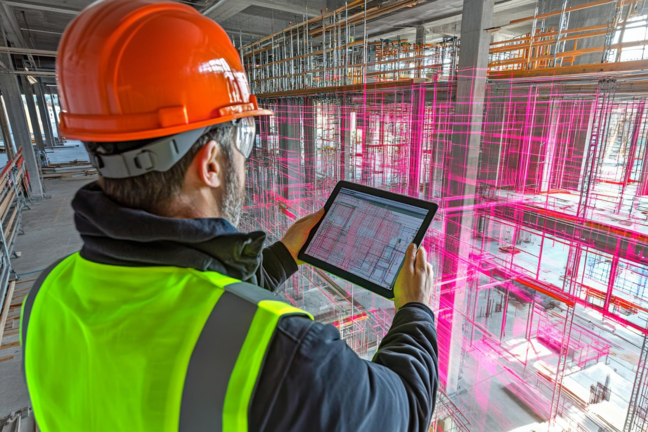
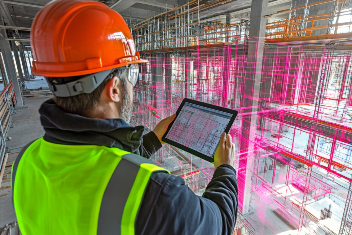
Construction and industrial projects rarely fail because a team could not take a measurement. More often, problems begin when the information used for design does not fully represent what is actually present on site.
This becomes particularly challenging when a project involves an existing facility. A plant may have been modified several times, piping may have been rerouted, equipment may have been replaced, and structural elements may differ from the original drawings. By the time a new expansion, retrofit or modification is planned, the available documentation may no longer tell the complete story.
That is where 3D laser scanning services in India can become an important part of the engineering process. Instead of depending entirely on legacy drawings or repeated manual measurements, laser scanning captures the physical environment as detailed spatial data. The resulting point cloud can then support engineering design, dimensional verification, 3D modelling, BIM workflows, construction planning and as-built documentation.
For industrial projects, however, laser scanning is not simply about creating a detailed digital picture of a facility. Its real value comes from giving engineers and project teams better information about existing conditions before they make decisions that affect design, fabrication and construction.
What Is 3D Laser Scanning and What Data Does It Capture?
3D laser scanning is a reality-capture technology used to record the geometry and spatial characteristics of an existing environment. A terrestrial laser scanner captures a large number of measurement points from different positions around a building, plant or construction site. These individual scans are then registered and combined to create a point cloud representing the surveyed environment.
The resulting point cloud can contain spatial information relating to equipment, piping, structures, walls, columns, floors, openings and other visible elements within the scanned area. Depending on the project requirement, this information can subsequently be processed into measurements, CAD references, 3D models, BIM-ready information or other engineering deliverables.
The important difference is that the information represents the existing physical condition rather than simply reproducing what an old drawing says should be there.
This distinction becomes important in facilities that have evolved over time. A process plant may have started with one engineering design but subsequently gone through equipment replacement, piping modifications, capacity expansion and utility changes. The original documentation may remain useful, but it may not represent every field modification.
A properly planned scan provides an additional layer of verified spatial information that engineers can use alongside available drawings and other project records. Current industrial scanning workflows similarly use registered point clouds as a basis for as-built documentation, plant modelling, retrofit planning and engineering coordination.
The scanning process itself is only one part of the workflow. Registration, quality checking, processing and conversion into the required engineering format are equally important because the usefulness of the final data depends on how well it supports the intended application.
When Should a Project Use 3D Laser Scanning?
Not every construction project requires laser scanning. For a new facility being developed on an undeveloped site, conventional surveying and engineering methods may provide sufficient information for many stages of the project.
The requirement becomes much stronger when existing physical conditions have a direct influence on the proposed design.
Brownfield projects are a common example. When a new process unit, equipment package or utility system has to be integrated into an operating facility, the engineering team has to understand the existing environment before developing the modification. Existing piping, equipment, structures, cable trays, access routes and maintenance spaces can all affect the proposed design.
The same applies to plant renovation and retrofit work. Replacing an existing vessel, installing a new pump, modifying a pipe rack or introducing a new production line can involve multiple physical interfaces. If these conditions are not properly understood during design, issues may only become visible when fabrication or construction has already started.
Laser scanning can also be useful when existing drawings are incomplete or outdated. Rather than trying to reconstruct the entire facility through individual measurements, the project team can capture the relevant area and create a spatial record that can be referenced throughout the engineering process.
As-built documentation is another important application. A registered point cloud preserves a digital record of the captured environment, allowing teams to refer back to existing conditions during future design, maintenance or modification work. For projects that will undergo repeated upgrades, this can become particularly useful because the digital information can continue supporting engineering decisions beyond the original project.
Construction verification is another area where scanning can add value. When the project team needs to compare actual construction conditions with design information, scan data can provide a useful basis for dimensional and spatial verification.
In simple terms, a project should consider scanning when what is physically present on site matters to what is being designed, fabricated or constructed next.
How Is Laser Scanning Used in Construction Projects?
Construction involves a continuous relationship between design information and physical work. Drawings and models describe what needs to be built, while the site represents what is actually happening. Keeping these two environments aligned becomes more difficult as projects become larger or involve existing structures.
This is where laser scanning in construction can support the project team.
A construction site can be scanned to capture existing conditions before design or modification work begins. The resulting point cloud can then be used as a spatial reference for engineering teams, architects, contractors and other project stakeholders.
For example, consider an existing industrial building where a new mechanical or electrical system needs to be installed. The available drawings may provide general information, but the actual site may contain beams, services, equipment and other elements that influence the available space. A scan can provide a much broader view of those relationships and allow the engineering team to review the environment digitally.
The same approach can support BIM and CAD workflows. Point-cloud information can be brought into compatible design environments so that engineers can work with existing-condition information while developing new designs. Scan-to-BIM workflows are increasingly used to convert captured site information into models for coordination, design development and verification.
This does not mean that every scan automatically becomes a complete BIM model. The required output depends on the project. Some teams may only need registered point-cloud data, while others may require CAD drawings, 3D models or BIM deliverables developed from the scan.
The important consideration is to define the intended engineering use before the survey begins. That helps determine what needs to be captured, the required coverage, the appropriate scanning method and the level of processing required.
How Is 3D Laser Scanning Used in Industrial Plants?
Industrial facilities are among the environments where accurate existing-condition information can have significant engineering value.
Chemical plants, manufacturing facilities and process plants often contain dense arrangements of equipment, piping, structures, cable trays, platforms and utilities. Many facilities have also undergone modifications over several years, which means the physical plant can gradually become different from its original engineering documentation.
In such environments, laser scanning for chemical industry applications can provide engineers with a detailed spatial reference of the existing facility. SES Digital specifically positions its laser scanning capabilities for chemical plants and highlights applications involving piping, heat exchangers, tanks, pumps and other plant equipment.
Consider a chemical plant planning a process upgrade. A new equipment package may need to connect with an existing piping system while remaining within a congested process area. The engineering team needs to understand the equipment location, pipe routes, support arrangements, nearby structures and available access before finalizing the modification.
A scan can capture these relationships and make them available within a digital engineering workflow.
The same principle applies to manufacturing facilities. When new machinery is introduced into an existing production area, the available floor space, structural elements, utilities and surrounding equipment can all affect installation planning. A digital representation of the existing environment gives the project team a better basis for evaluating the proposed arrangement.
For brownfield engineering, this becomes particularly valuable because the objective is not simply to design something new. The objective is to make the new design work within something that already exists.
That is why industrial laser scanning should be considered part of the engineering workflow rather than treated as an isolated surveying activity.
How Does Laser Scanning Help With Complex Piping?
Piping is often one of the most difficult elements to document accurately in an existing process facility. Lines may run at different elevations, pass behind equipment, connect to vessels, cross structural members and share congested pipe racks with multiple systems.
Traditional measurements can capture individual dimensions, but complex piping requires more than isolated measurements. Engineers need to understand the spatial relationship between the pipe, equipment, supports, structures and surrounding systems.
This is where laser scanning for piping becomes particularly useful.
A scan can capture existing pipe routes and their relationship with equipment connections, pipe supports, structures and nearby services. The resulting spatial data can then support engineering activities such as modification design, tie-in planning, routing studies and dimensional verification.
SES Digital’s existing technical content specifically describes laser scanning for piping as a way to provide detailed facility data that can be integrated with CAD workflows for design planning, clash detection and future modifications.
This becomes especially important when working inside a congested process plant. A proposed pipe route may appear feasible when viewed on a two-dimensional drawing, but the three-dimensional environment may reveal another line, structural member or maintenance access requirement occupying the same space.
With scan-based information available during design, engineers can identify these spatial relationships earlier.
The benefit is not that laser scanning eliminates every engineering problem. Rather, it gives the engineering team better visibility of the physical environment before those problems reach fabrication or construction.
What Deliverables Can You Get From a 3D Laser Scan?
The deliverables from a scanning project depend heavily on how the captured information will be used. A project requiring basic existing-condition documentation will have different requirements from a brownfield engineering project that needs detailed piping and equipment modelling.
The most fundamental output is a registered point cloud. Multiple scan positions are combined into a coordinated dataset so that the captured environment can be viewed as one digital representation rather than as disconnected individual scans.
From this information, project teams may develop 3D models, CAD references, BIM-related deliverables, measurements and as-built documentation. In Scan-to-BIM workflows, point-cloud data can be used as the basis for creating or validating digital models of existing facilities.
For industrial projects, the output may also include engineering-focused models representing piping, equipment and structural elements. The level of detail should be agreed according to the project requirement rather than assuming that every project needs the same type of model.
This is an important part of planning a scanning assignment. Before the team goes to site, the client and scanning provider should understand what the engineering team actually needs to do with the data. A point cloud intended for visual reference has different requirements from one that will support detailed piping modification or a BIM coordination workflow.
A good scanning workflow therefore begins with the final engineering application in mind.
What Should You Consider When Choosing a 3D Laser Scanning Company?
Choosing a scanning provider is not simply a matter of comparing scanner specifications. The quality and usefulness of the final output depend on the complete process, including site capture, scan planning, registration, processing, validation and delivery.
The provider should understand the accuracy requirements of the project and select the scanning approach accordingly. Accuracy is not a single universal number; it depends on the equipment, site conditions, scanning methodology, registration process and intended use of the information.
Processing capability is equally important. A large collection of scan files is not automatically useful engineering data. The scans need to be registered correctly, checked and processed into a format that can be used by the project team.
Engineering understanding also matters, particularly for industrial projects. A provider familiar with plant layouts, piping, equipment, structures and brownfield modifications can plan the capture with the eventual engineering application in mind.
Software compatibility should also be considered. If the project team works primarily with CAD, BIM or plant-design platforms, the scanning workflow should be capable of producing information that can fit into those existing processes.
Finally, the provider should be able to clearly explain what will be delivered, how the data will be processed and what limitations apply. A well-defined deliverable is far more useful than simply requesting a generic “3D scan.”
How to Choose 3D Laser Scanning Services in India?
When evaluating 3D laser scanning services in India, the first question should not be which scanner a company uses. It should be what problem the project needs the scanning data to solve.
If the project involves an existing chemical plant, manufacturing facility, process unit or construction environment, start by defining which areas need to be captured and why. The requirement could be an as-built record, a brownfield modification, piping design, equipment replacement, construction verification or BIM coordination.
The next consideration is the required accuracy and level of detail. A project that needs general spatial documentation will not necessarily require the same scanning approach as detailed piping modification work. Establishing this requirement early helps prevent both under-scanning and unnecessary data collection.
It is equally important to understand what the engineering team will receive after the site work is completed. The deliverable could be registered point-cloud data, CAD information, a 3D model, BIM-ready information or a combination of outputs. The right choice depends on how the data will be used during design and execution.
For industrial projects, experience with the actual engineering environment should carry considerable weight. A scanning company that understands chemical plants, process facilities, piping systems and equipment layouts can generally approach the work with a better understanding of what engineers need to see.
SES Digital combines 3D laser scanning with broader digital engineering capabilities and has experience positioning scanning for chemical, processing, construction, manufacturing and other industrial applications. Its digital engineering portfolio also connects laser scanning with technologies such as drones, virtual reality and smart-factory solutions.
For project owners, EPC contractors and engineering teams, that broader capability can be useful when scanning is not the end goal but part of a larger digital engineering workflow.
Conclusion
3D laser scanning is most valuable when a project depends on understanding what already exists.
For new construction on an undeveloped site, it may not always be necessary. But for brownfield projects, plant upgrades, retrofits, renovation, piping modifications, equipment replacement and as-built documentation, having dependable existing-condition information can make engineering and construction decisions much more predictable.
The value of 3D laser scanning services in India therefore goes beyond capturing millions of measurement points. When the scan is properly planned, registered, processed and connected to CAD, BIM or other engineering workflows, it becomes a practical source of information for design coordination and project execution.
For industrial facilities, this is particularly important. Chemical plants and process facilities can contain dense piping, equipment and structural systems where even a small difference between the drawing and the physical plant can create problems later. By giving engineers a detailed digital view of existing conditions, laser scanning helps move critical site knowledge into the design environment before fabrication and construction decisions are finalized.
If your project involves an existing plant, complex piping, a retrofit, an expansion or construction verification, SES Digital can help determine what needs to be captured and how the resulting data can support your engineering workflow.
Planning a brownfield modification, plant upgrade or industrial construction project? Connect with SES Digital to discuss the right 3D laser scanning approach for your project.